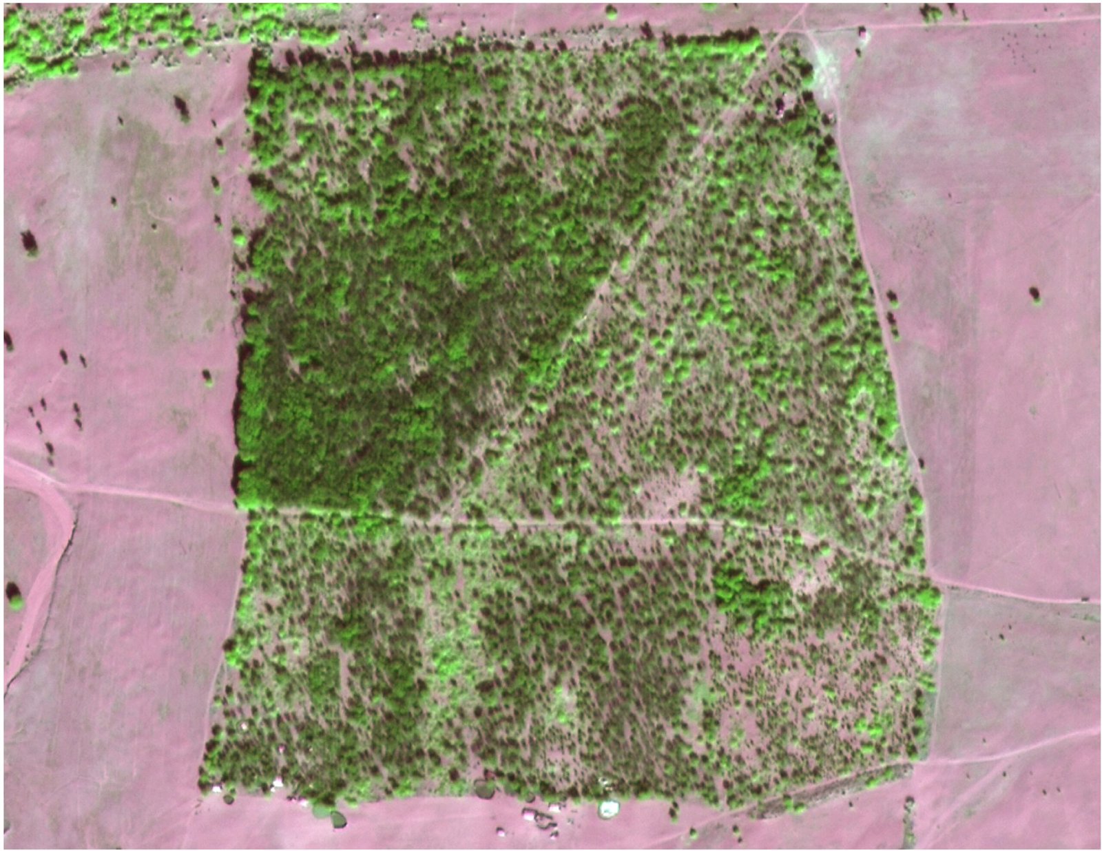

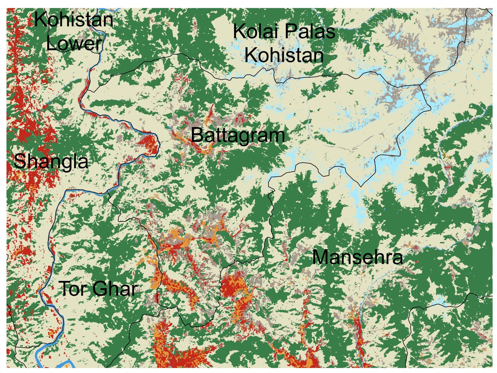


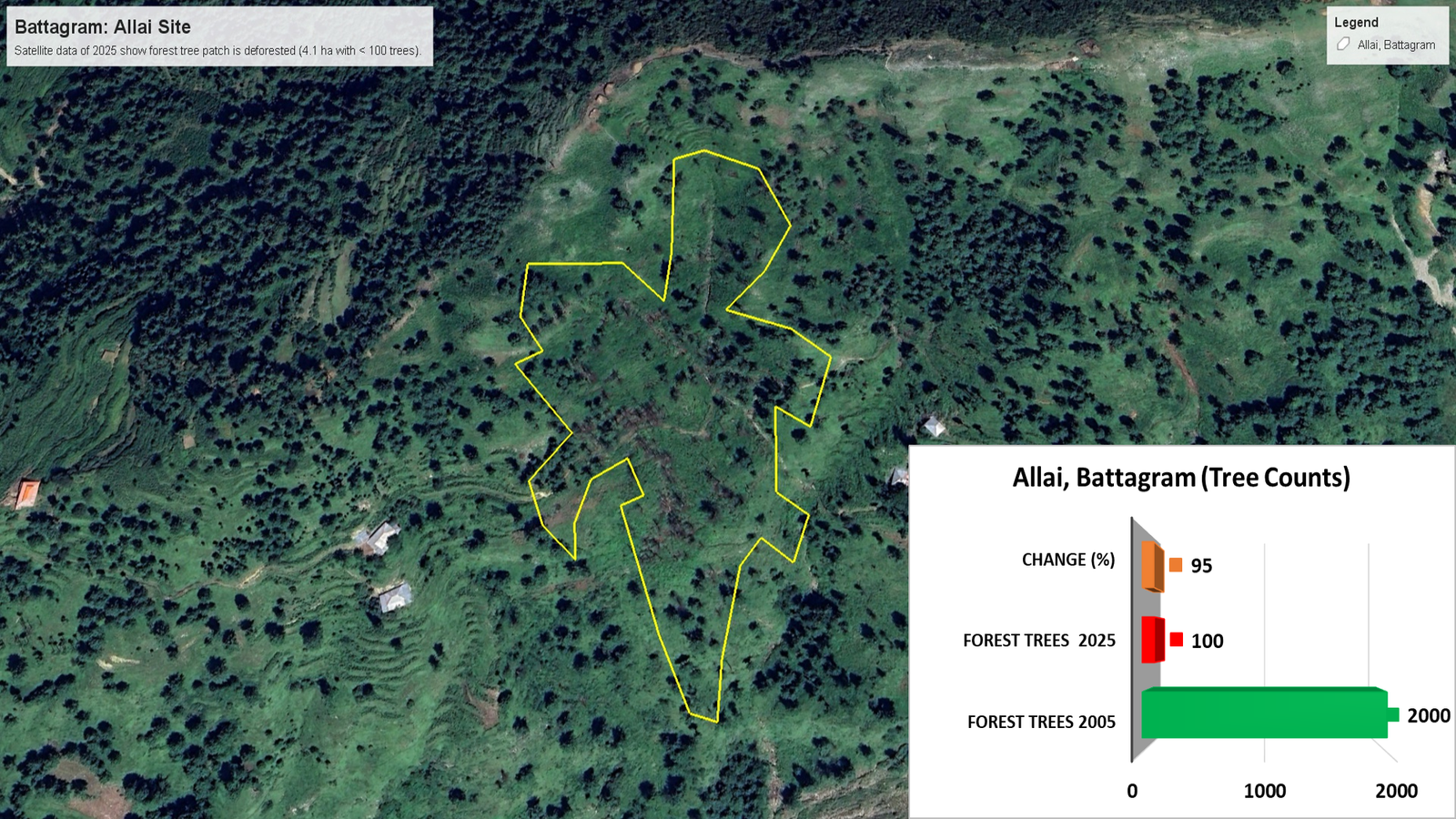
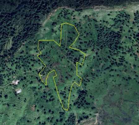


Annual forest cover, biomass products, and rapid disturbance alerts to support conservation
Forestry
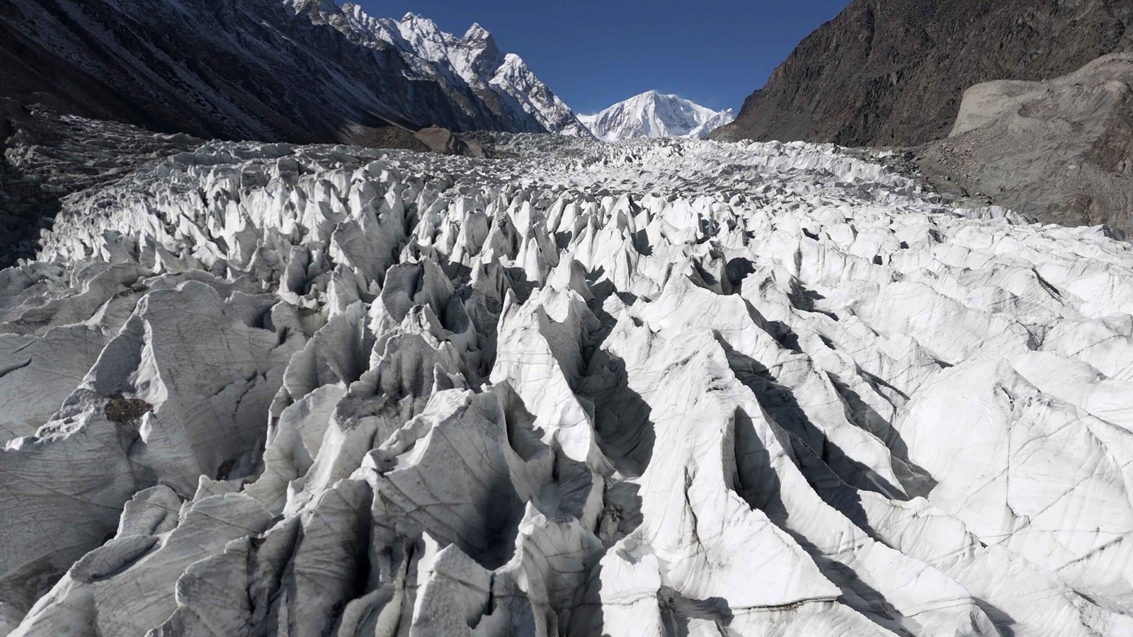
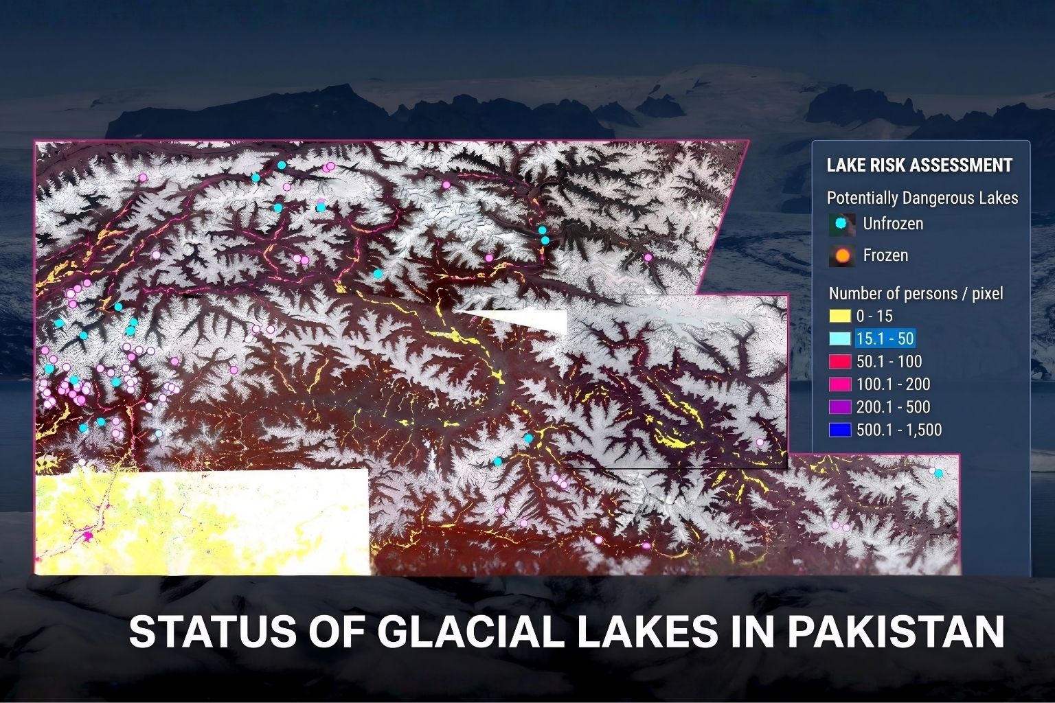
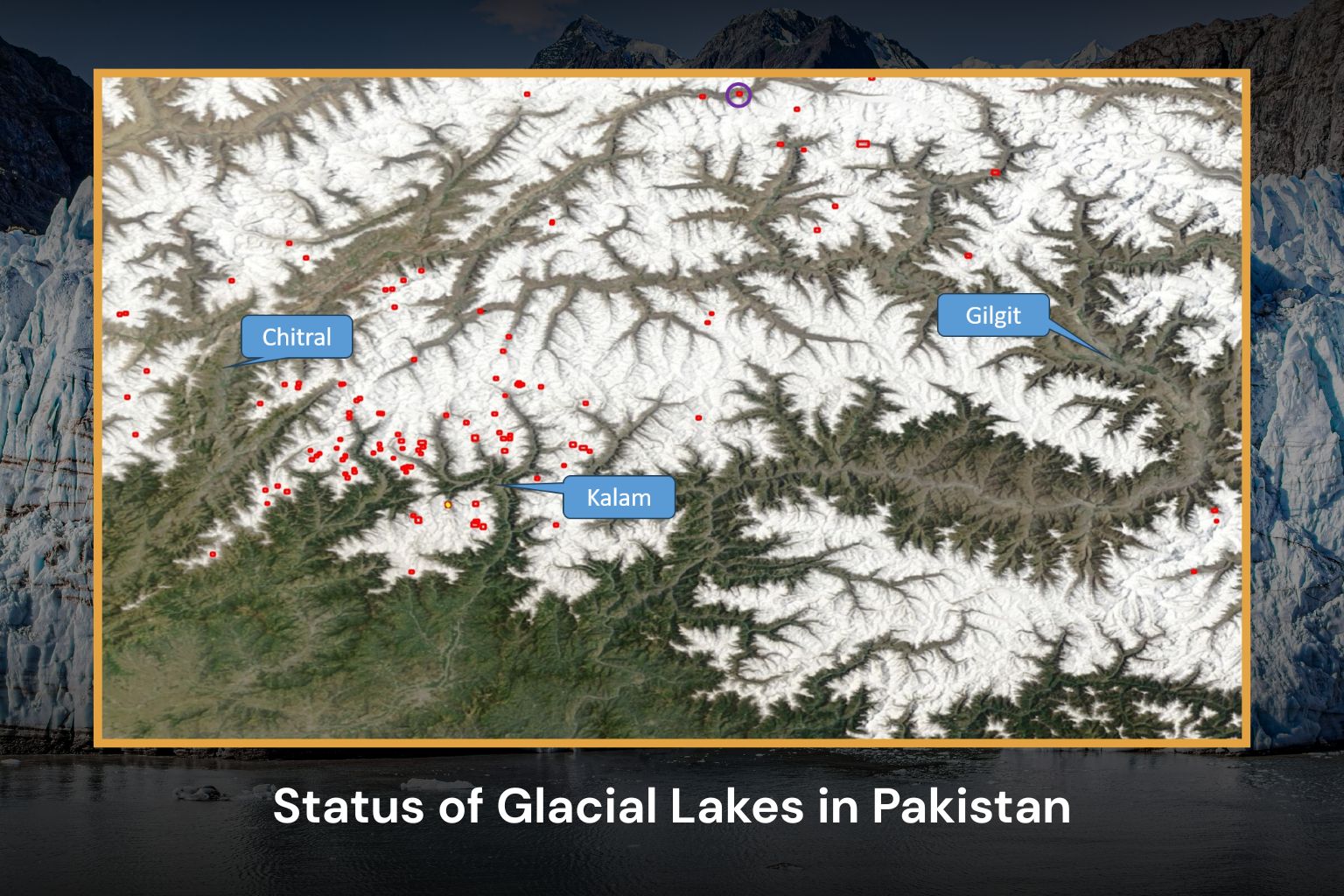
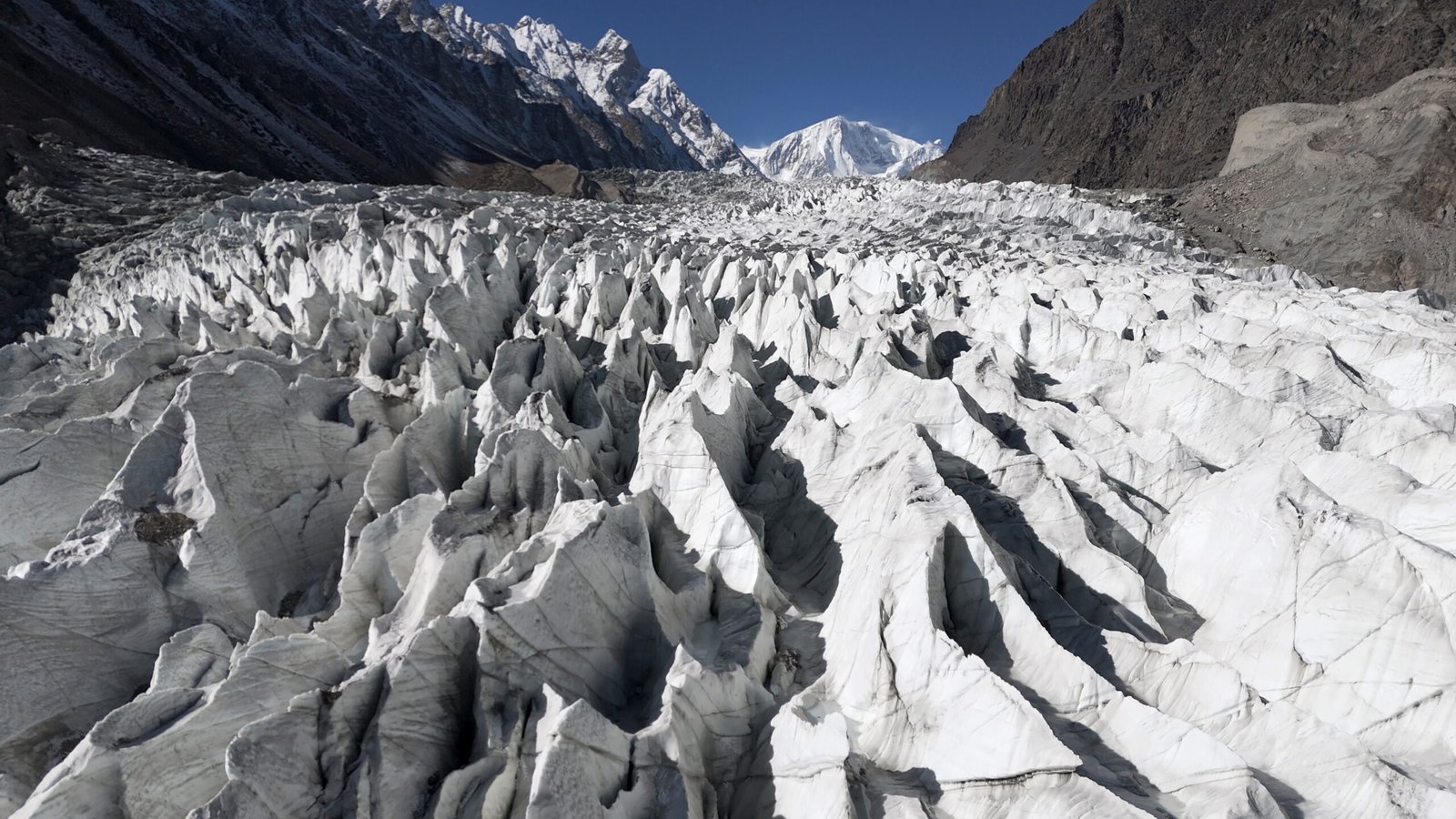
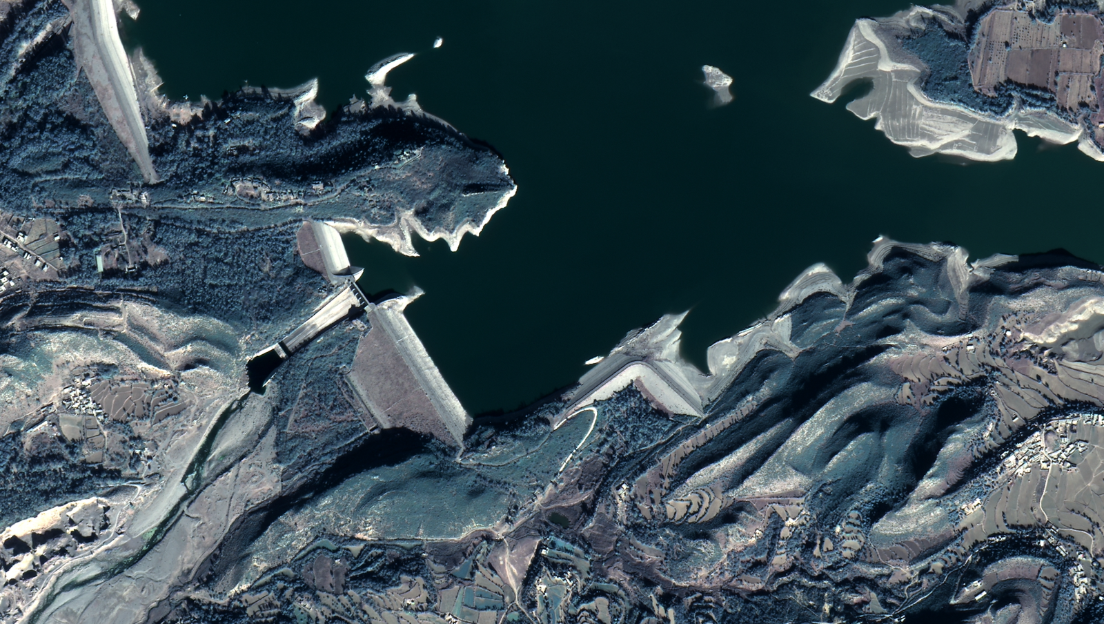
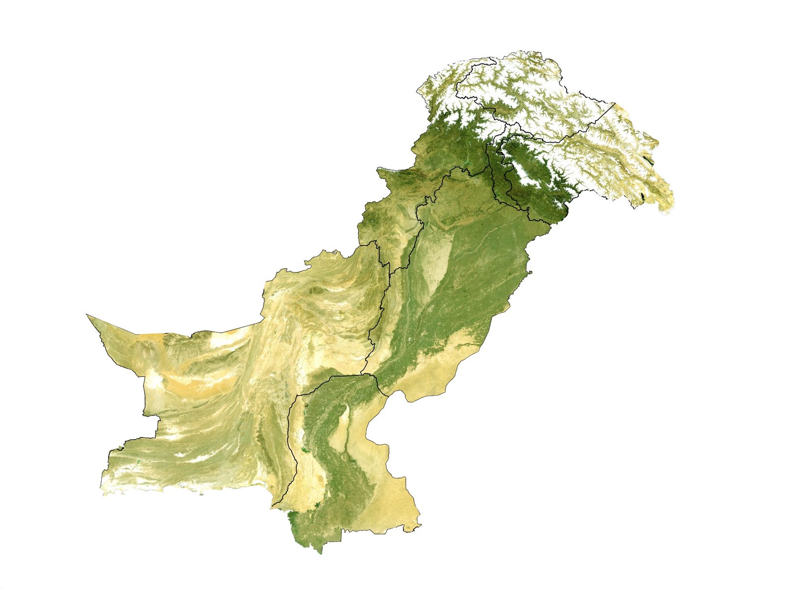
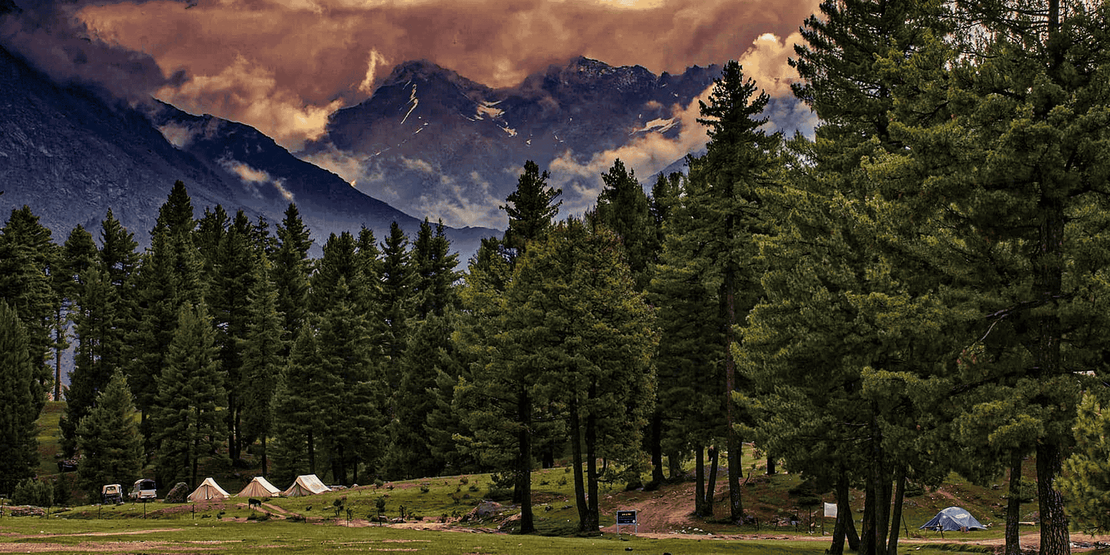
Glacier extent, velocity and proglacial lake monitoring for GLOF alerting and water resource planning
Glaciers
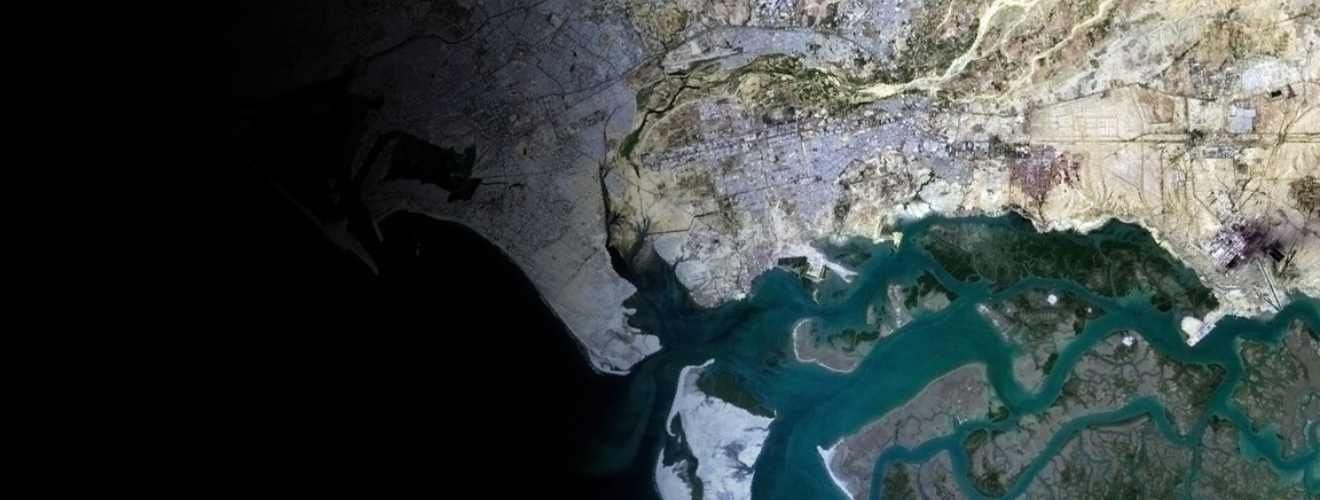
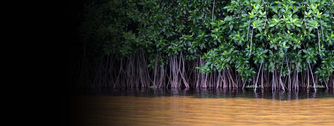
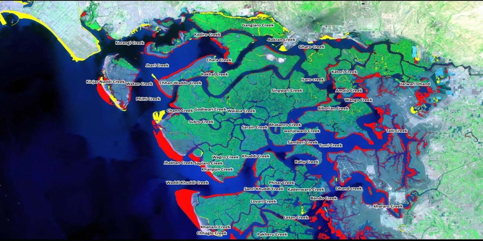
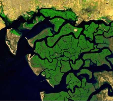
Time-series shoreline change and mangrove health assessment using satellite observations
Coastal Dynamics
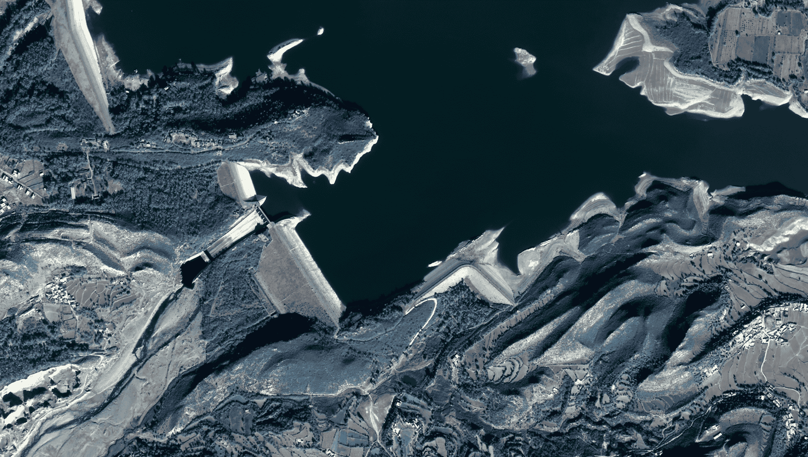
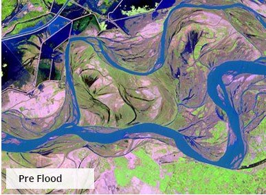
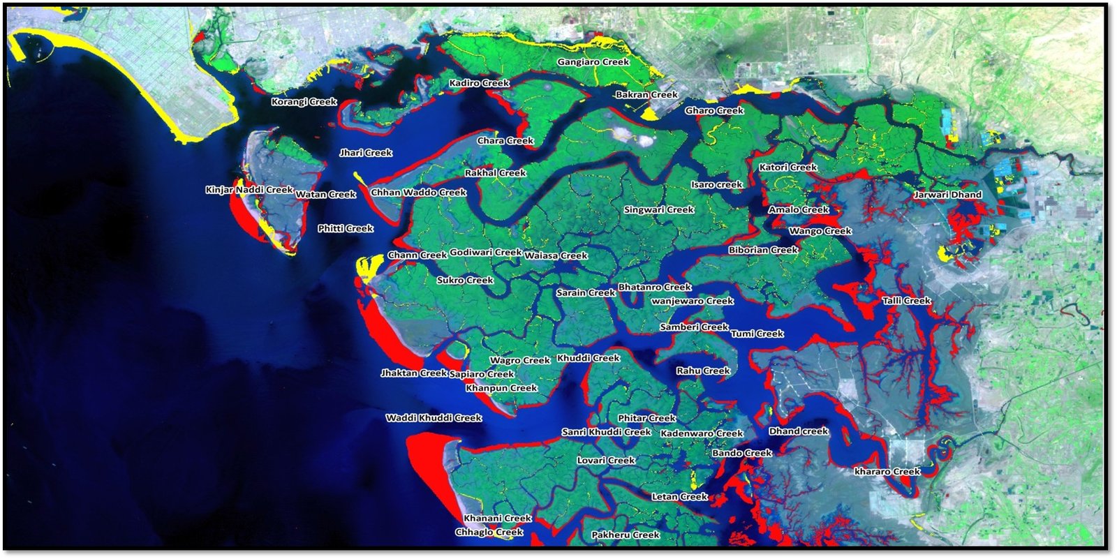
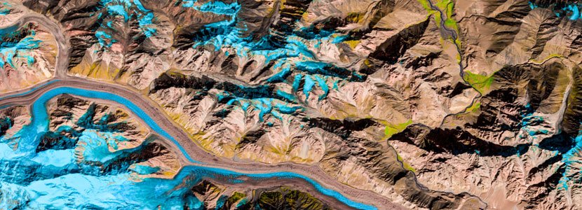
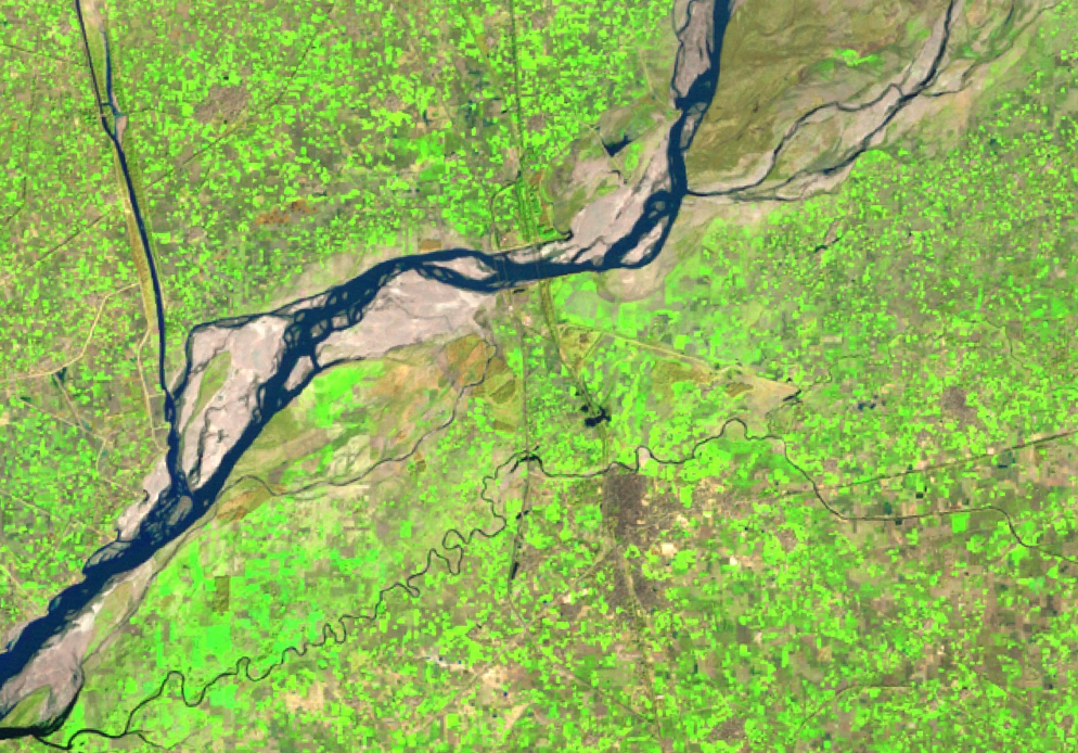
River migration, encroachment detection and river-basin monitoring with multi-temporal satellite data
Waterways
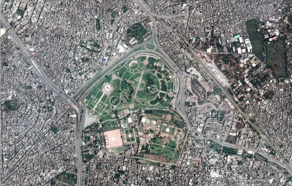
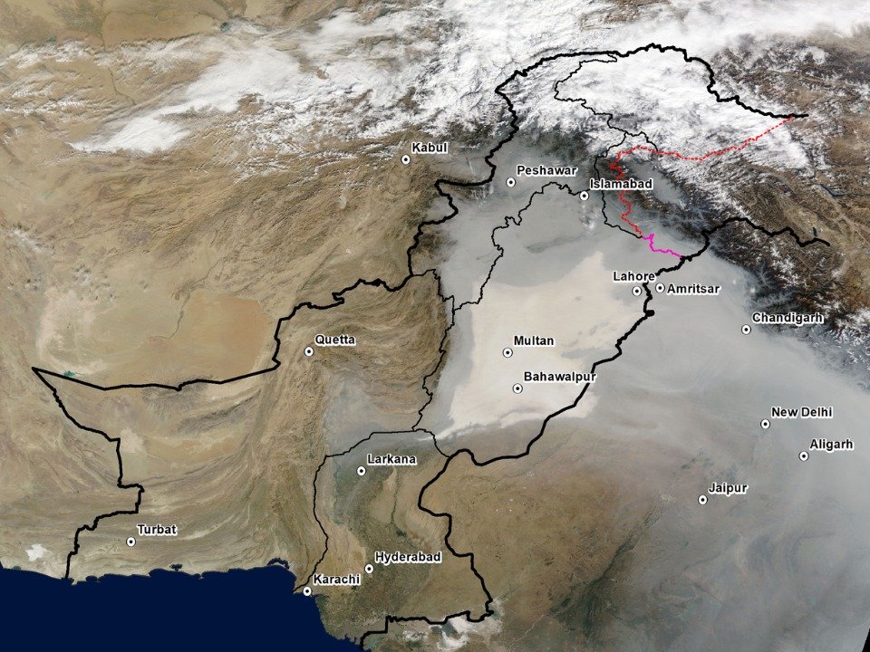
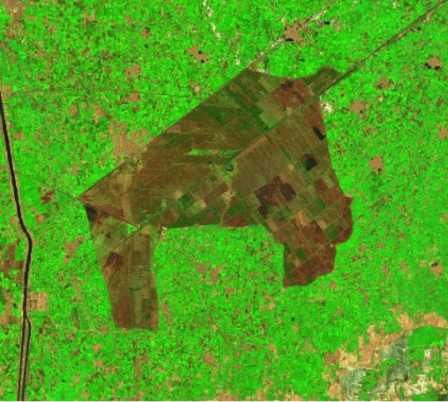
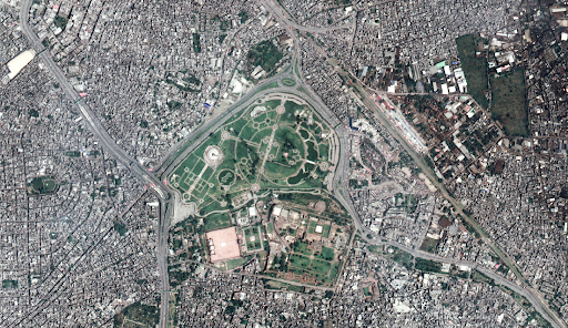
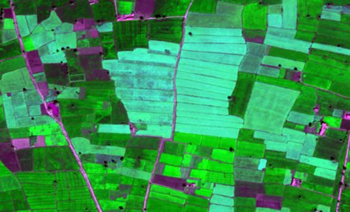
High-resolution landcover and crop classification using hyperspectral, multispectral and SAR data
Landcover & Agriculture
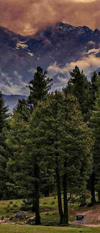
 Annual forest cover, biomass products, and rapid disturbance alerts to support conservation
Forestry
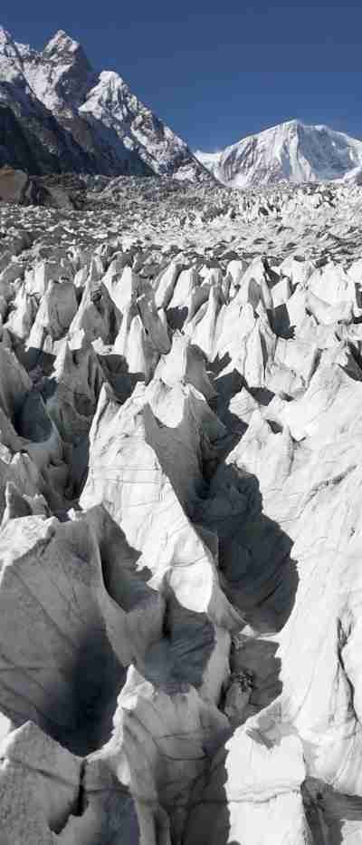 Glacier extent, velocity and proglacial lake monitoring for GLOF alerting and water resource planning
Glaciers
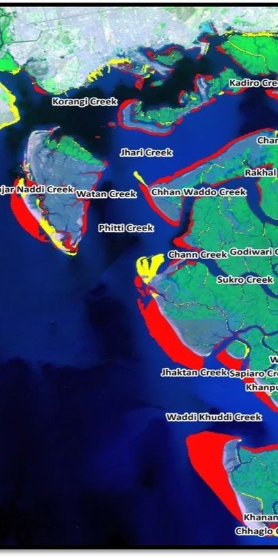 Time-series shoreline change and mangrove health assessment using satellite observations
Coastal Dynamics
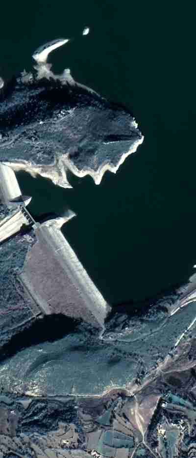 River migration, encroachment detection and river-basin monitoring with multi-temporal satellite data
Waterways
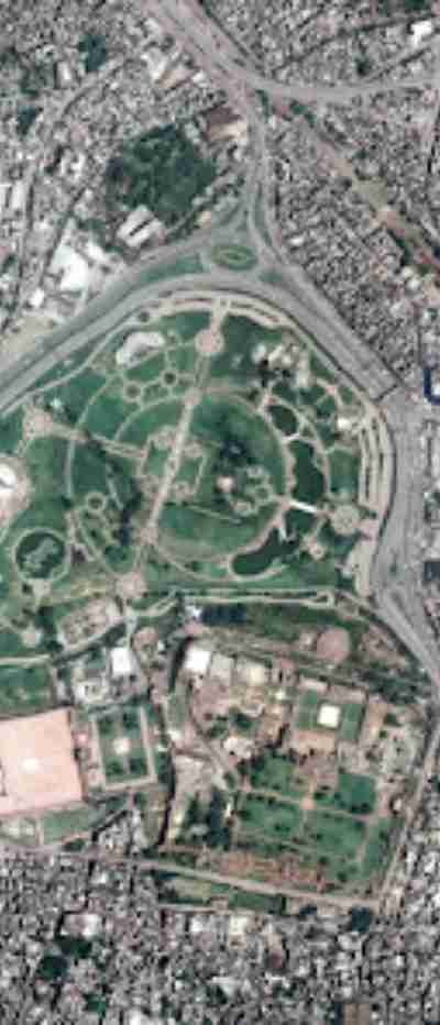 High-resolution landcover and crop classification using hyperspectral, multispectral and SAR data